downtown austin map
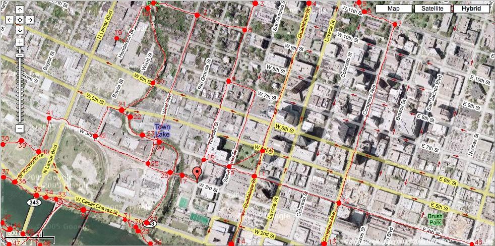
This didn't really work like I wanted it to since the map renders rather small on a typical browser page. Anyway, if you click on the map, there are numbered bullets for performance notes along these routes.
One thing to note is that the print feature on Google Maps will output a pdf of the street-level map regardless of what you are viewing. So, I had to use screen capture to obtain this hybrid version as the canvas for my annotations.
Anyway, I think I'll just use this attempt as a high-level overview of the area and discuss the performance notes with more detailed maps of each location. This will certainly help for some of the trickier parts of the Shoal Creek trail.
posted by Eccentric Cycles at 10/23/2005 08:56:00 AM
0 comments
![]()
![]()

